Earth Unfolded Latest
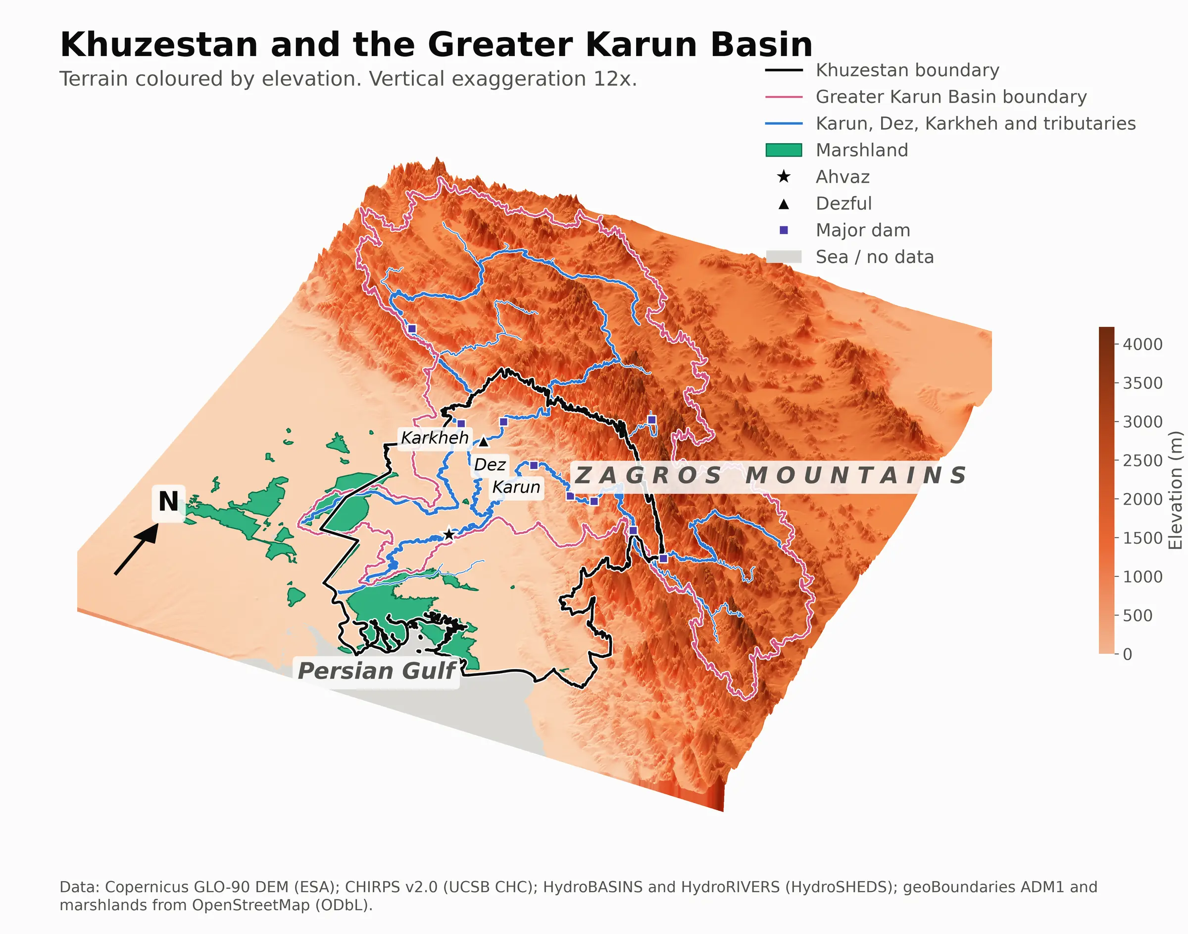
Mapping the 2019 Iran flood, a case study in Khuzestan province
Mapping the 2019 Khuzestan flood using publicly available satellite imagery. Estimating the exposure of people and infrastructure within the flooded area.
Highlights Read the story
Flood area, 15 March 2019 to 7 June 2019
5,959 km²
- Share of the province
- 9.6%
98,418
Residents in the flood
WorldPop 2020
1,886 km²
Cropland in the flood
WorldCover 2020
313 km
Major road in the flood
OpenStreetMap, 2019
226 mm
Mean rainfall, Karun Basin
10-year mean 86 mm
Radar flood area in each 12-day window, 2019
The Khuzestan flood peaked between 8 and 19 April 2019.
Mangroves and protected areas
Mangrove extent inside and outside protected areas, 1985 to 2025, by country.
Highlights Read the story
Net change, 1996 to 2025
-1,920 km²
- Lost
- 20,372 km²
- Gained
- 18,451 km²
28% of the loss inside protected areas
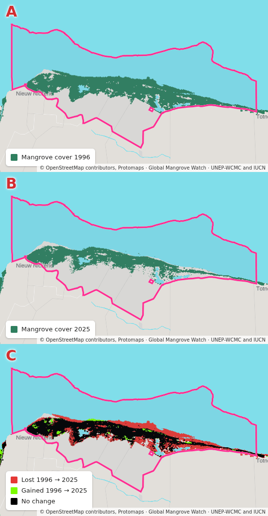
Bigi Pan, Suriname
Change vs 1996
Bigi Pan protected area, Suriname, lost 46% of its mangrove since 1996.
Global mangrove cover
Total global mangrove extent, between 1996 and 2025.